
Services
End-to-end service across every discipline of survey engineering, from measurement to delivery.
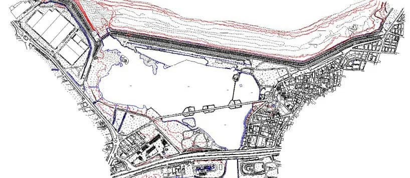
Terrestrial Base Mapping
Digital base maps at 1:500–1:5000 scale using GNSS and total stations.
- Triangulation, traverse and levelling networks
- Digital terrain models and contours
- Strip maps along route corridors
- Spot-height plans and volume calculations

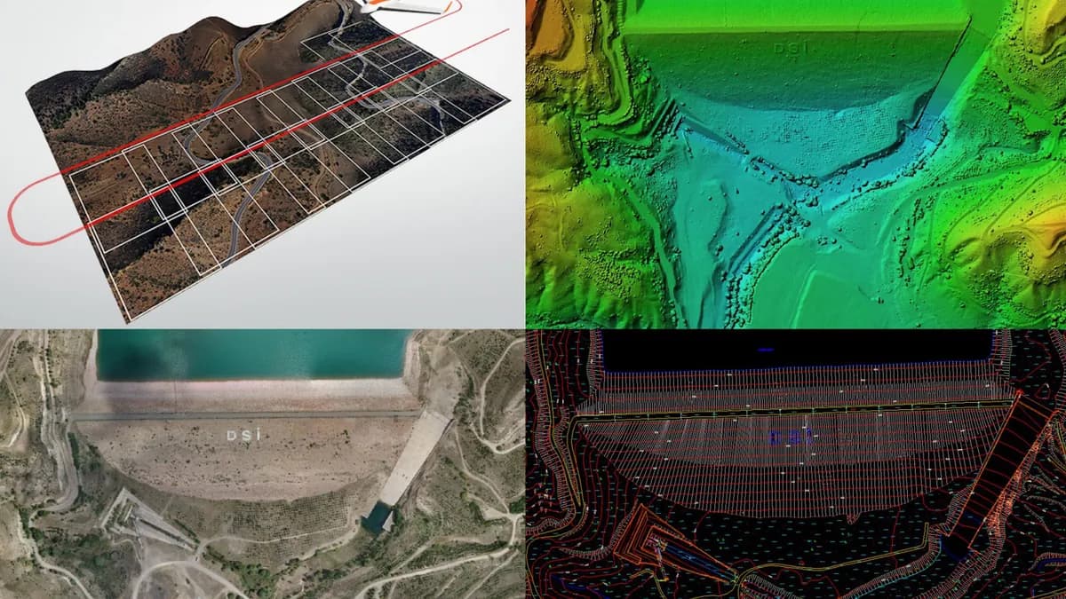
Photogrammetry & UAV
Fast, accurate mapping of large areas through aerial imaging.
- RTK-enabled UAV flights
- Orthophotos, DSMs and DTMs
- 1:1000 photogrammetric base maps
- Point cloud generation and classification

Hydrographic / Bathymetric Surveys
Underwater topography of reservoirs, ponds, rivers and tailings dams.
- Singlebeam and multibeam echosounder surveys
- Reservoir volume and sedimentation analysis
- River cross-sections and flood modelling data
- Coastal and port surveys
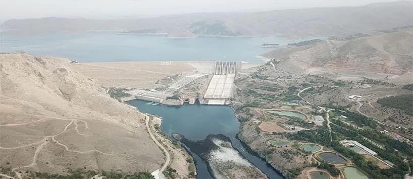
Feasibility, Design & Planning
Survey engineering for dam, pond, irrigation and flood projects.
- Mapping for planning and final design
- Data for dam-break analyses and emergency action plans
- Flood management plans
- Design setting-out
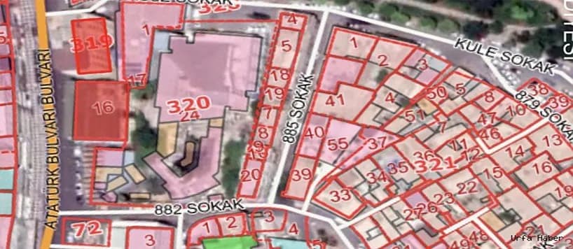
Expropriation Engineering
Expropriation plans for highway, railway, power line and irrigation projects.
- Expropriation plans and registration
- Parcel-based ownership identification
- Boundary stone setting-out
- Coordination with cadastre offices
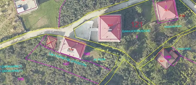
Cadastre & Zoning
Digital cadastral mapping, zoning applications and pasture works.
- Digital cadastral mapping
- Zoning Law No. 3194, Articles 18 and 7/A applications
- Pasture delimitation and setting-out
- Land consolidation
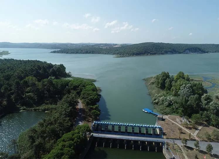
Geodetic Surveys & Deformation
Precise monitoring of the position and movement of engineering structures.
- Geodetic control networks
- Dam and structural deformation surveys
- As-built and setting-out surveys
- Precise levelling
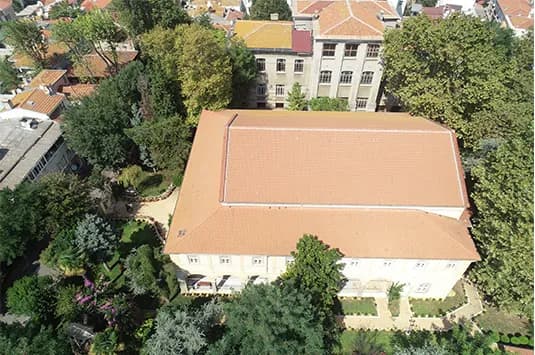
Laser Scanning & 3D Modelling
A three-dimensional digital twin of structures and terrain with LiDAR.
- Restoration surveys of historic buildings
- Façade and interior scanning
- 3D models from point clouds
- Volume and section extraction
GIS & Data Management
Organising and analysing spatial data, and delivering it to institutional standards.
- GIS database design
- Base map digitisation
- Spatial analysis and thematic maps
- Delivery to institutional standards
Let’s plan the right map for your project.
Reach our team for technical specifications, site reconnaissance or a quotation — we will get back to you shortly.