
Skip to content
HİMMET HARİTAConstruction & Engineering

Equipment & Technology

Up-to-date survey equipment collecting data from the air, on land and under water.

An accurate map starts with an accurate measurement. We keep renewing our equipment to meet the technical specifications of public institutions and save time in the field.

Underwater

Hydrographic survey

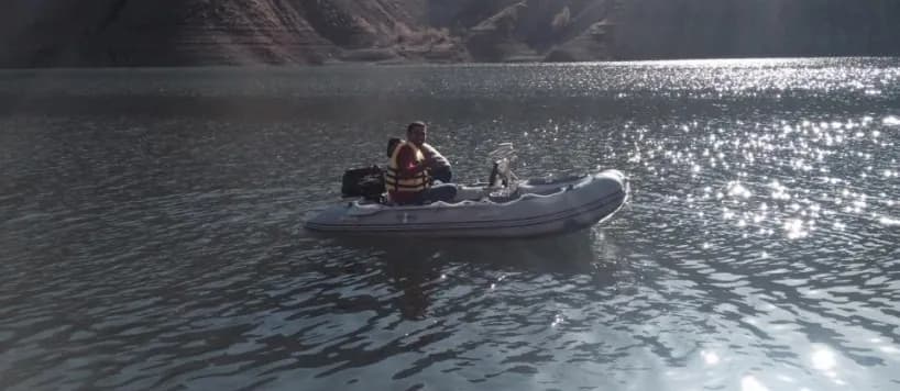
Singlebeam Echosounder

A single-beam acoustic depth sounder for reliable bathymetry in reservoirs, ponds and rivers.

  • Integrated GNSS/RTK positioning
  • High accuracy in shallow to medium depths
  • Quick setup on light survey boats

Applications

Pond and reservoir volume, river cross-sections, flood studies

Underwater

Hydrographic survey

Multibeam Echosounder

A multi-beam system that maps the bed in high resolution by sweeping a wide swath in a single pass.

  • Full (100%) seabed coverage
  • 3D underwater models from dense point clouds
  • Motion and sound-velocity corrections

Applications

Dam face and spillway inspections, sedimentation, ports and coastal structures

Air

Unmanned aerial vehicle

DJI Matrice 300 RTK

An industrial-grade UAV platform for photogrammetric flights with centimetre-level RTK positioning.

  • Up to 55 minutes of flight time
  • RTK positioning that reduces the need for ground control
  • Works with camera and LiDAR payloads

Applications

Orthophotos, photogrammetric base maps, corridor and reservoir mapping

Air & land

Laser scanning

LiDAR

Laser-based scanning producing dense point clouds that capture the ground even beneath vegetation.

  • Hundreds of thousands of points per second
  • Bare-earth models beneath vegetation
  • Millimetre-level 3D models of structures

Applications

Digital terrain models, corridor mapping, restoration surveys, volume calculations

Let’s plan the right map for your project.

Reach our team for technical specifications, site reconnaissance or a quotation — we will get back to you shortly.