
DSİOngoing
Hydrographic / Bathymetric
10. Bölge Müdürlüğü Hidrografik Harita Yapımı
State Hydraulic Works (DSİ)
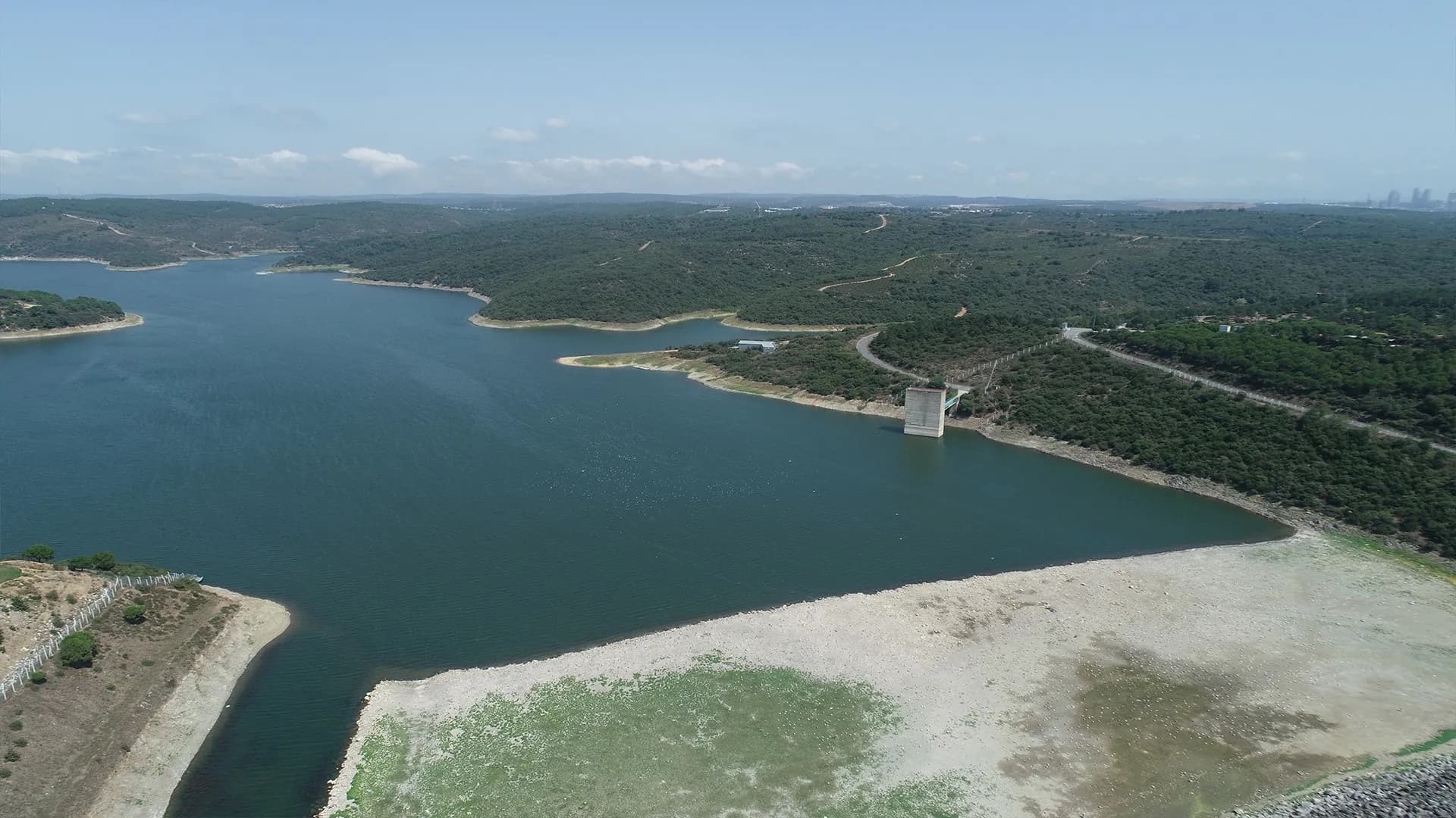
Since 1995 · Ankara
We produce the maps that underpin dam, irrigation, highway and railway projects — from the air, on the ground and under water, with centimetre-level accuracy.
Our services
From field survey and office processing to expropriation and project delivery, we run the entire process with our own team and equipment.
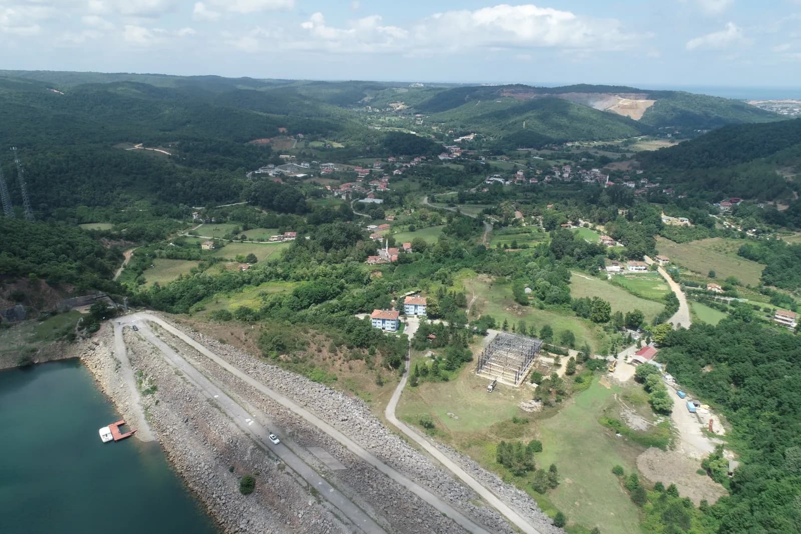
1995
serving since
Who we are
Himmet Harita was founded in Ankara on 31 January 1995. Since then we have delivered mapping, feasibility, design and consultancy services to public institutions including the State Hydraulic Works (DSİ), the General Directorate of Highways, Turkish State Railways (TCDD), İller Bankası and the General Directorate of Water Management.
From dams and ponds to irrigation networks, motorways and high-speed rail lines, we take the very first step of infrastructure investments across Türkiye: measuring the land accurately.
Technology
We keep investing in up-to-date survey technology to raise both accuracy and field productivity.
Recent projects
A selection of ongoing and recently completed projects.
Hydrographic / Bathymetric
State Hydraulic Works (DSİ)
Highways & Railways
General Directorate of Infrastructure Investments
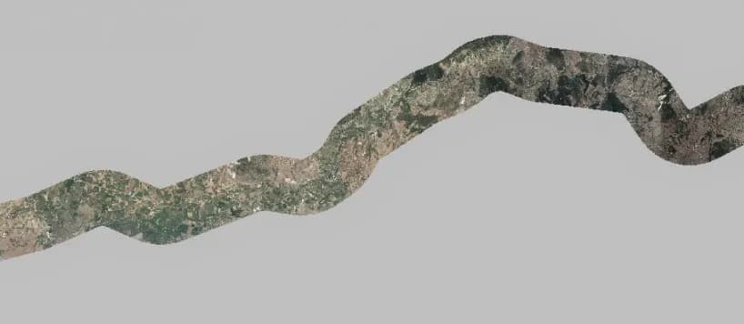 2019–2020
Highways & Railways
Turkish State Railways (TCDD)
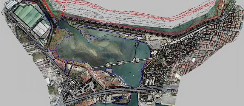 2019–2020
Flood, Earthquake & Dam Safety
Istanbul Water and Sewerage Administration (İSKİ)
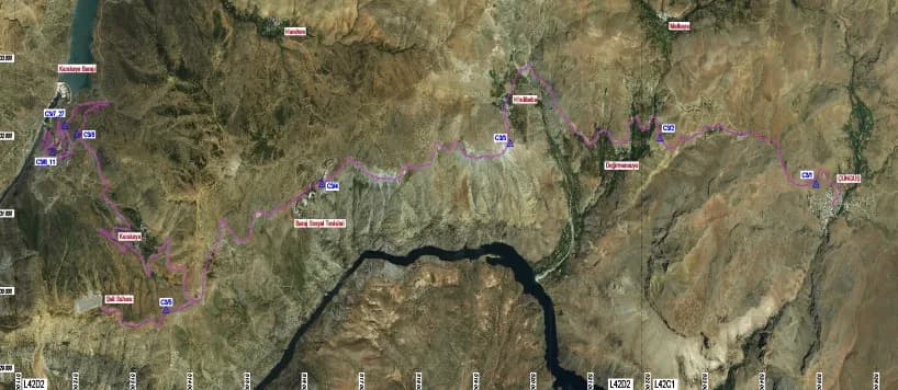 2019–2020
Highways & Railways
Electricity Generation Company (EÜAŞ)
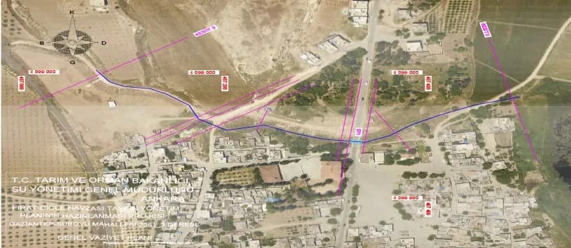 2018–2020
Flood, Earthquake & Dam Safety
General Directorate of Water Management
References





Reach our team for technical specifications, site reconnaissance or a quotation — we will get back to you shortly.