
About Us
Himmet Harita Construction and Engineering Services Ltd. — surveying and engineering since 1995.
Our story
Translating the land into maps for thirty years.
Himmet Harita İnşaat ve Mühendislik Hizmetleri Ltd. Şti. was founded on 31 January 1995. For more than thirty years it has provided services in surveying and mapping, feasibility and design, expropriation, land consolidation, Geographic Information Systems (GIS) and consultancy.
With an experienced team of engineers and technicians able to run projects of any scale, and a fleet of up-to-date survey equipment, we have completed our contracts across Türkiye on time and in line with specifications.
Our services range from photogrammetric and terrestrial base mapping and hydrographic (bathymetric) surveys to the study and engineering of highways, railways, pipelines and power lines, and digital cadastre.
- 31+
- Years of experience
- 121
- Completed projects
- 19
- Public institutions
- 6
- Ongoing projects
Our mission
To deliver accurate, reliable, fast and professional service — and to stand behind every point we measure.
Our vision
To keep our company up to date by closely following technical and technological developments in our field, and to be the partner of choice for Türkiye’s infrastructure investments.
How we work
Precision
Every measurement is verified against control points; the data we deliver is a foundation projects can safely be built on.
On-time delivery
We stick to the work schedule and plan ahead for field challenges.
Transparent communication
We report clearly and regularly to clients and design teams at every stage.
Continuous improvement
We invest in UAV, LiDAR and multibeam technology and keep our team trained.
Milestones
An engineering journey
1995
Founded
Himmet Harita was established on 31 January 1995 to provide surveying and engineering services.
1996
First public contract
Expropriation engineering for the Diyarbakır–Siverek–Şanlıurfa state road for the 9th Regional Directorate of Highways.
2000
Post-disaster mapping
Around 6,750 hectares of mapping and as-built surveys in the Western Black Sea flood region (Kastamonu, Bartın, Bolu, Düzce) under the TEFER programme.
2004
Photogrammetric road mapping
1:1000 digital photogrammetric mapping along more than 100 km of highway corridors.
2006
Digital cadastre
Digital cadastral mapping of three work groups in Giresun for the General Directorate of Land Registry and Cadastre.
2012
Large irrigation schemes
Survey engineering for the Kahramanmaraş Menzelet (65,000 ha) and Mardin (60,000 ha) irrigation projects.
2014
Hydrographic surveys
Bathymetric maps of the Kültepe–Sıddıklı dams, the Berdan River and four dams in Malatya.
2019
Rail and earthquake studies
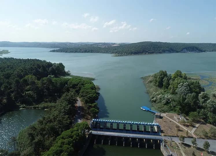
Bursa–Bandırma Railway feasibility and design, and the earthquake impact study of Istanbul’s water-supply dams.
2023
Dam safety
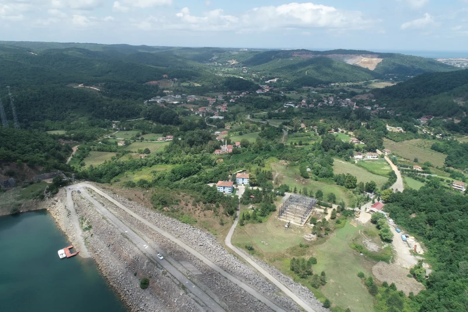
Dam safety and dynamic performance studies under the World Bank-backed Türkiye Irrigation Modernization Project.
2026
Thirty years and counting
More than 120 completed projects, with new ones under way in the field.
Let’s plan the right map for your project.
Reach our team for technical specifications, site reconnaissance or a quotation — we will get back to you shortly.